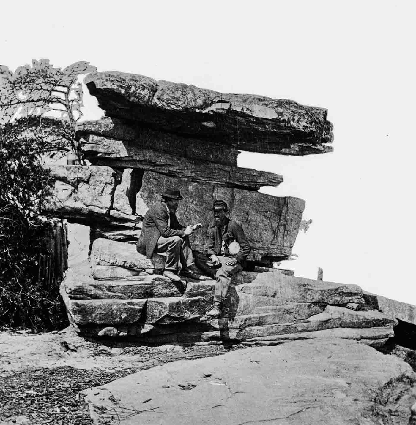
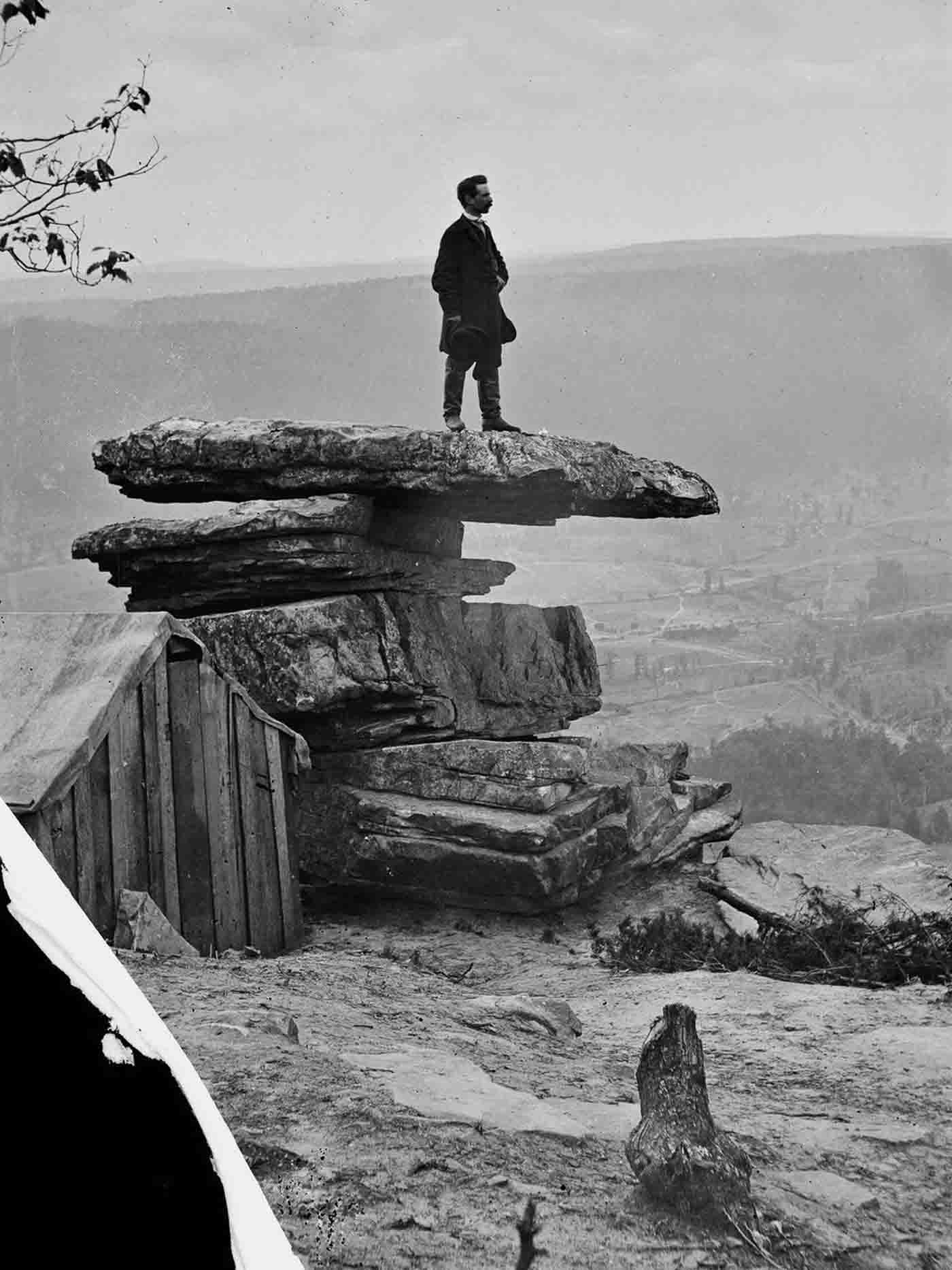
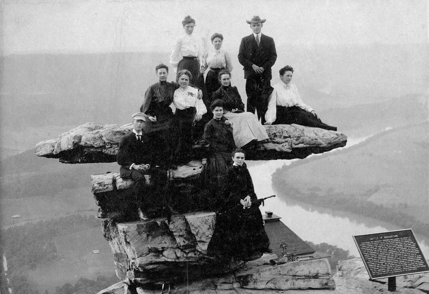
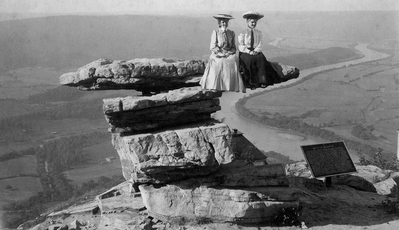
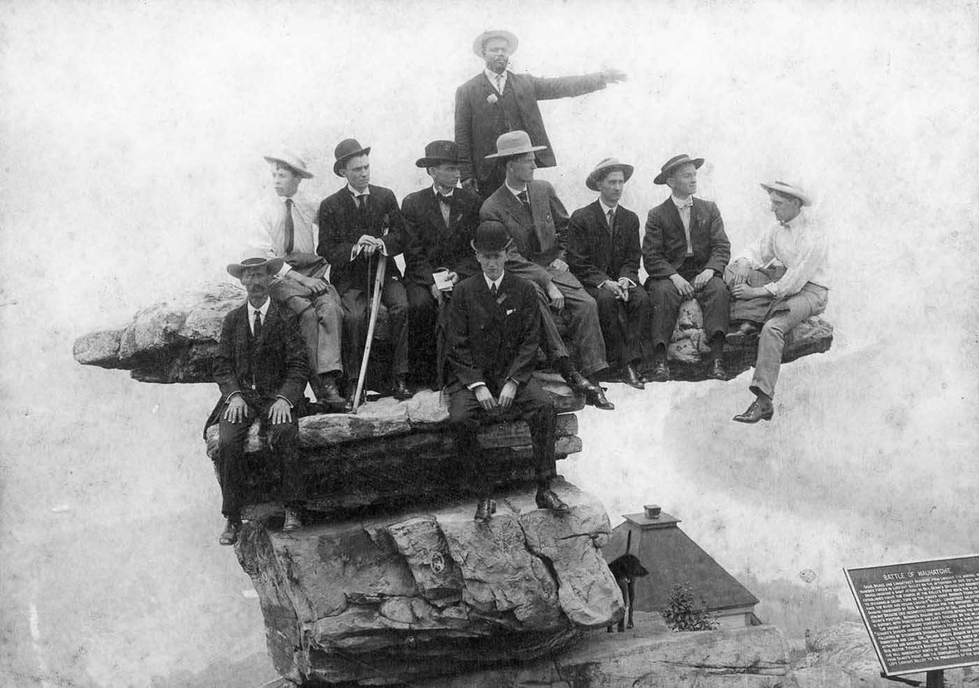
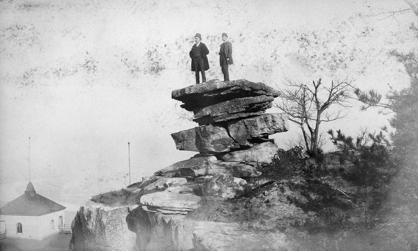
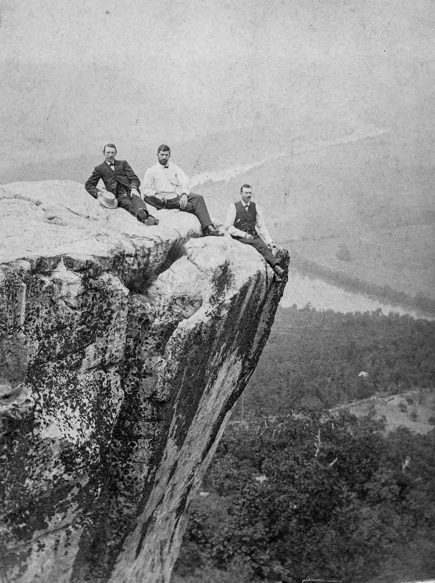
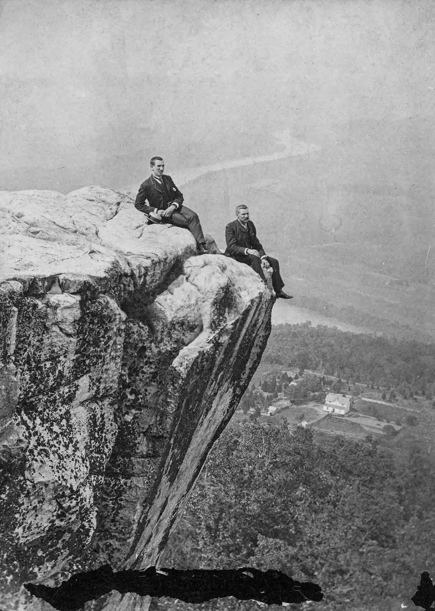
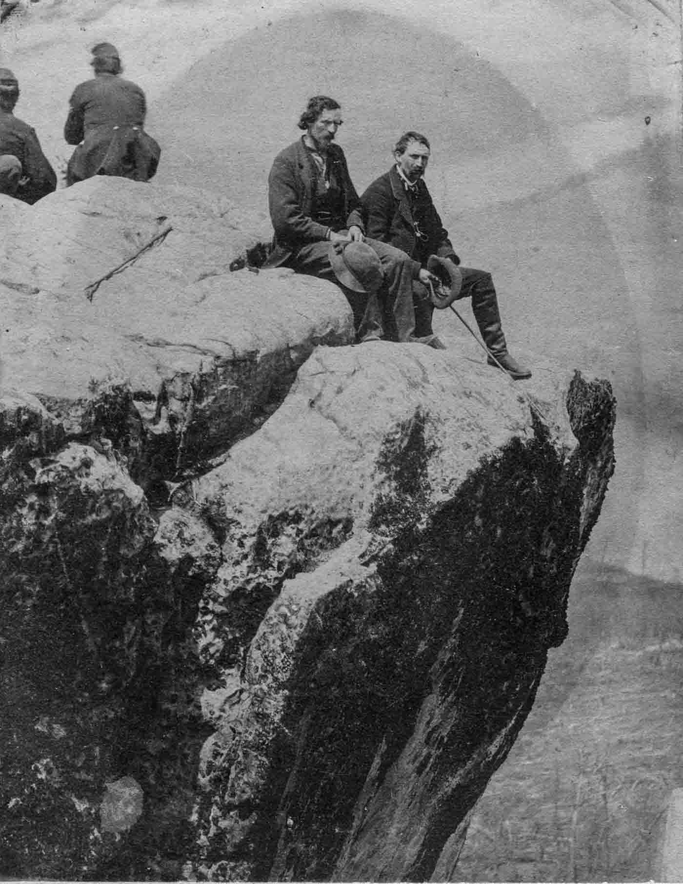
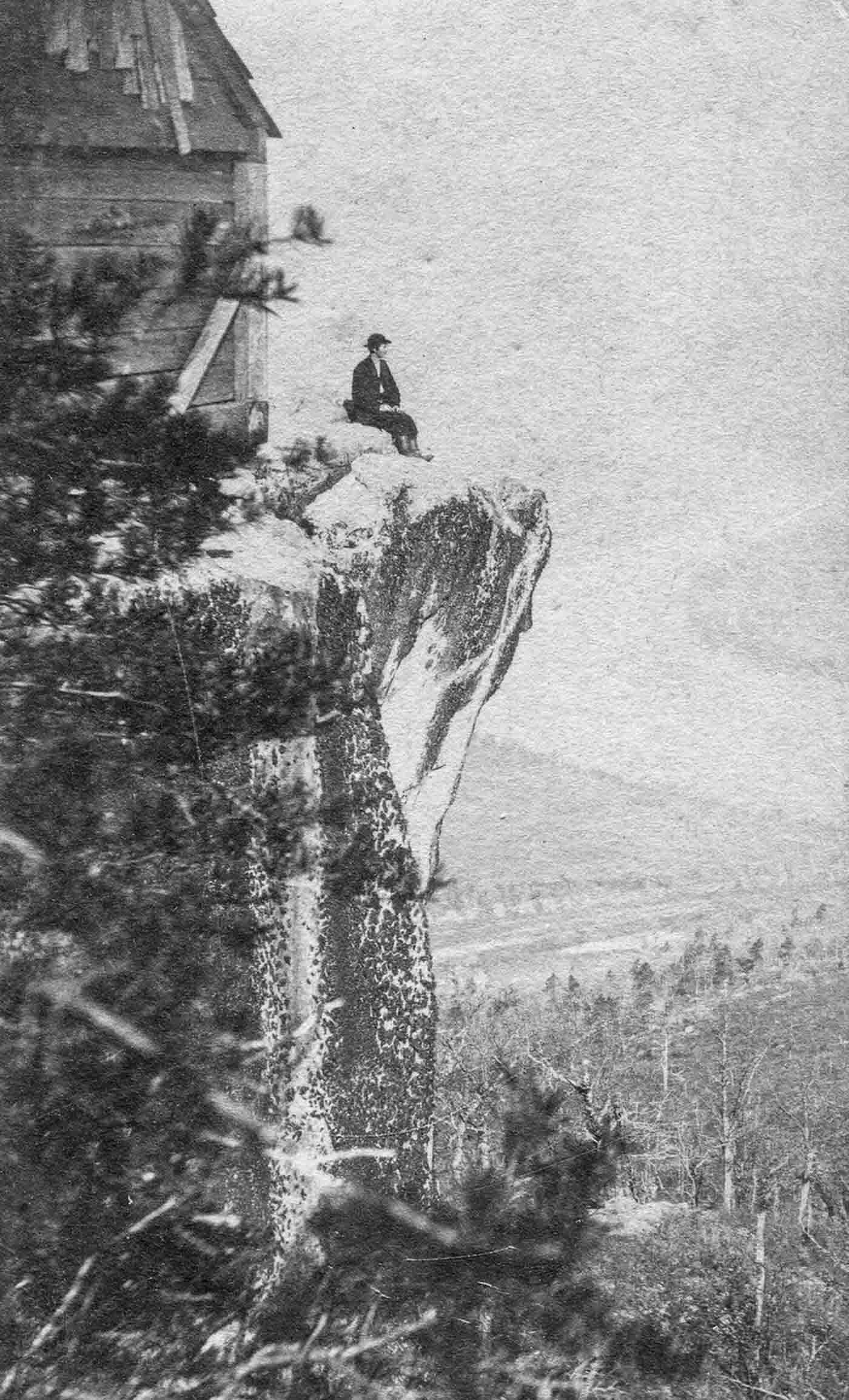
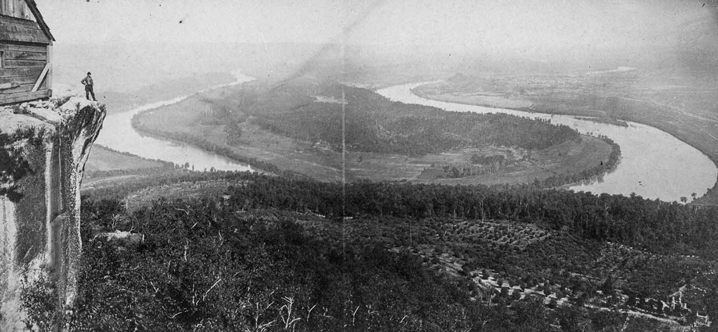
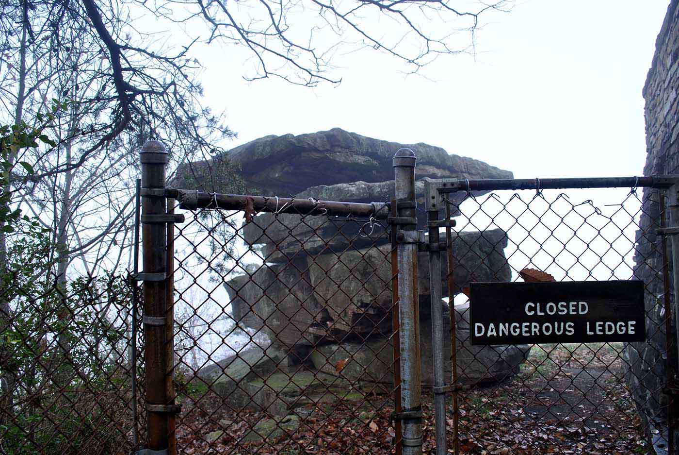
Umbrella Rock on top of Lookout Mountain was one of the more iconic tourist spots from the 1880s through the 1940s. These images, assembled by Chattanooga’s local historical organization Picnooga, capture almost 60 years of photo opportunities on Umbrella Rock. It appears perilously balanced, but more than thirty people can stand on its top at one time. During the Civil War, the Confederate army held Lookout Mountain until 1863. In November, following the Union’s defeat at Chickamauga, General Joseph Hooker’s army stormed up the mountainside. Fought in heavy fog, the engagement received the romantic name the “Battle Above the Clouds.” Subsequently, the Union army established a military hospital complex on the summit. Shortly thereafter an enterprising photographer opened a summit studio, taking portraits of Union soldiers posing on the cliffs and on the distinctive formation known as Umbrella Rock. Soldiers returning home with photos of the magnificent view helped raise the profile of the scenic spot, which became a major tourist destination. The Umbrella Rock was finally fenced off in 1940 over safety concerns. Lookout Mountain is a mountain ridge located at the northwest corner of the U.S. state of Georgia, the northeast corner of Alabama, and along the southeastern Tennessee state line in Chattanooga. Lookout Mountain’s name likely comes from the Creek term for “rock rising to a point”. The name appears on maps as early as Mathew Carey’s 1795 “Map of The Tennessee Government.” The Chickamauga people, a branch of Cherokee Native Americans, lived in the Chattanooga area. The Chickamauga called the mountain Chat-a-nu-ga; hence the name of the city. Research suggests the mountain was inhabited, although no physical evidence has been found. On top of the mountain, the pattern of boulders suggest lanes or walls were once there.
(Photo credit: Matthew Miller / Picnooga). Notify me of new posts by email.
Δ Subscribe

